Methods
Currently, GPS is providing accurate positional data for monuments in a global reference system. I acquired GPS data for many sites in Eastern North America in the Fall of 2005. I am collecting GPS readings by other researchers. In the course of these studies the acquisition of data has sometimes been difficult, at best. When this inquiry began, accurate fundamental astronomical data was difficult to find in State University libraries. Finding accurate geodetic coordinates for archaeological sites has been laborious. Before GPS, I relied almost entirely on available topographic maps. Some sites do not appear on topographic maps. At times, aerial photography has prove useful. Archaeologists may not make the determination, or it is imprecisely stated. Archaeological maps may lack reference to latitude or longitude, or coordinates and orientation are inaccurate.
 Circle Mound 85.619074W 40.102917N GPS |
I had access to 1:50,000 Ordinance Survey maps of England and Scotland. For United States sites I used 1:24,000 USGS topographic maps. My Teotihuacan data is from a 1:25,000 map, while my other Mexico data is derived from 1:50,000 maps or better. At a minimum, I use a hand lens to determine coordinates with 1/64 inch accuracy and at least seven decimals in degree coordinate notation. Although the coordinates are not this accurate, this method avoids introduction of inaccuracies into the series of trigonometric calculations, or introduction of modularity.
The least accurate data used for the results presented on these pages is from 1:50,000 maps. If the margin of error in the results of calculations are larger than the monuments themselves, I do not cite them. Given the scale of the monuments in question, relatively accurate coordinates can be determined. An improvement in methods, scanning topographic maps, then determining coordinates to the nearest pixel in PhotoShop, was used with eastern North America sites. Ideally, site coordinates should be acquired using Geographic Positioning Systems (GPS) acquired data with near meter accuracy, with results from less accurate coordinates being preliminary. The GPS data has so far shown that the map-determined coordinates are sufficiently accurate for initial analysis. I continue accumulating GPS data and seek contributions of GPS readings.
I use a spreadsheet for calculations. I wrote code that adjusts secular polar motion, obliquity of the ecliptic, and astronomic constants according to epoch. I use range assignment names for locations and astronomic constants, for both convenience and accuracy of data entry. The spreadsheet results present arc distance, bearings, latitude and longitude ratios, latitude and longitude differences, and conversions of these into units of circumference, sine, cosine, tangent, radians and the astronomic modules discussed above.
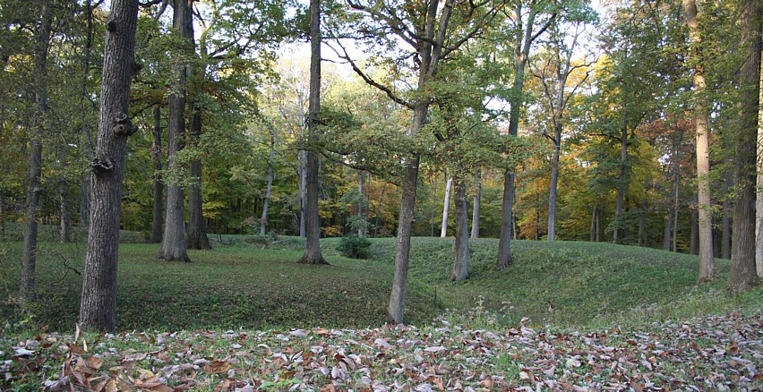
 Monks Mound, Cahokia, South view from plaza. |
The Neolithic Monuments of the British Isles
Ireland, England and Scotland are quite littered with ancient earthen mounds, earthen henges, stone circles and other megalithic monuments of the Neolithic era. The best known of these are the standing stone circles. The passage graves at Newgrange, Ireland, have produced a 2845 BC date, and the average date for the Newgrange tumulus is 2500 BC. Main constructions at Stonehege date from the Middle Neolithic to the Early Bronze Age, circa 2950 to 1600 BC. Two dates frame 2300 BC at Stennes. Recent radiocarbon dates place the construction of the Avebury earthwork and stone circle in the period 2900 to 2600 BC. One of the earliest henges in Wales, at Llandegai, dates to 2650 BC. Windmill Hill henge radiocarbon dated to about 3600 to 3300 BC.
Henges have a geographic range from the Orkneys to Devon and from Cornwall to Ireland, and have a remarkable similarity over the range. Henges were built for over a millennia. Stone circles are difficult to date. The construction of stone circles roughly parallels the period of henge construction. Henges proliferate in the east of Britain while stone circles abound in the west, and henges and stone circles are combined in the transition zone. Twenty percent of the 50 largest henges enclose a stone circle. At the ten largest of these, on average the henge is twice the diameter of the stone circle.
For preliminary study, I determined the coordinates of the largest stone circles and henge monuments in the British Isles. I relied heavily on the published works of Burl, Barnatt, Chippindale, Clare, Cooney, Darvill, Hardy and Lee, O'Kelley, Pitts and Whittle, Thom and Thom, and Wainwright to establish which monuments were the largest, and approximately where they were located. The 1987 work of Harding and Lee, Henge Monuments and Related Sites of Great Britain. Air Photographic Evidence and Catalogue, and that of Wainwright, The Henge Monuments, were particularly useful.
I sorted the largest 42 henges and 32 stone circles (at 62 sites) by size. Both groups present outliers. Four henges, Marden Henge, Durrington Walls, Avebury and Mount Pleasant, are far larger than all others at 462, 462, 427 and 345 m in mean diameter respectively. Avebury is also a dramatic outlier among stone circles, with an outer stone circle having a mean diameter of 331.6 m. Inside the gigantic Avebury henge and stone circle are located two megalithic stone circles of 103.6 m, the same diameter as two other stone circles, the circle around the Newgrange tumulus in Ireland and the Ring of Brodgar in the Orkneys. The other two largest stone circles are Stanton Drew and Long Meg, with mean diameters of 113.4 and 101.2 m respectively.
I plotted the locations of the selected monuments and noted a concentration in South England (19 of 62 sites in an area spanning 140 km by 86 km) and a meridional concentration (9 sites with 8 henges and 7 stone circles in an 8.2 km wide area). Seven of the nine sites in the meridional concentration are part of the South England group. The four largest henges are in the South England concentration, and three of these are in the meridional concentration. Avebury, Stonehenge, Marden, Windmill Hill, Winterbourne, Condicote, and Durrington Walls are in both groups. These groups have larger monuments, on average. The South England stone circles are 2.17 times and the henges are 1.49 times the size of those at the other sites in the study group. Compared to the average of all 62 sites in the study, the meridian group has stone circles 1.87 times larger and henges 1.38 times larger.
I analyzed site-to-site arc distances, latitude and longitude differences, and latitude and colatitude properties. The largest sites were prominent in the results. The Newgrange and Avebury sites, the most important, complex, and largest Neolithic monuments in Ireland and England respectively, with identically-sized stone circles, have an interesting arc distance relationship at 1/100 of the earth's circumference. The distance from the Newgrange stone circle to Windmill Hill equals 3.5886° and that from Windmill Hill to Knowth, the largest passage mound, equals 3.6001.° The distance from Dowth Henge, the largest henge in Ireland, to Avebury, the largest henge of all, equals 3.5965.°
I also sort ordered the arc distances and noted a concentration of arc lengths of 0.60° (1/600th of circumference). The module R27 is noteworthy in the distances between some of the largest sites, and in the distances between nearby monuments. The distance from Avebury to Silbury Hill equals R27/1000, as does the distance between the Thornborough henges.
There were several results of interest in the latitude and colatitude study. Avebury is today located at 51.42861° latitude, equal to 360/7 degrees or 1/7th of circumference (1/7th of 360 degrees is 51.42857°). The difference is a placement error smaller than Avebury's diameter. Avebury's latitude around 2900 BC was slightly less, due to secular polar motion. I consider it significant that, of all sites, this relationship is found at the very largest henge with three of the largest stone circles, the outlier of the outliers, Avebury. Also, from Avebury the bearing to Tara is CIR/7. The Tara complex, like Newgrange, is located at CIR/100 from Avebury. From Windmill Hill to Rath Righ (Tara Hill) equals 3.5855,° from Avebury 3.605.°
At Stonehenge, 0.25° (CIR/1440) south of Avebury, I noticed that 360/7 is also precisely the angle of the Heel Stone from north. The angle may be the reason for its placement, given a geometric relationship remains fixed, unlike summer solstice sunrise azimuth.
At Marden Henge, the largest henge, colatitude has a sine of 0.6249 (8:5). The latitude to longitude ratio at Windmill Hill is 1:0.6250 (8:5), while that at Llandegai A, not among the largest henges considered, but the largest and one of the earliest of henges in its region, is 1:0.60025 (5:3). The ratio at Durrington Walls is 1:0.62837 (5:pi). These results, excepting Llandegai, coincide with the largest sites in both the South England and the meridian group.
I do not propose that the primary function of the Neolithic monuments is geodetic. At the same time the results suggest that the largest Neolithic monuments evidence geodetic knowledge by their builders. The most compelling aspect of the results is that the largest sites recur in the results of each different approach taken in the analysis. Intentional arrangement is also inferred by the precision and redundancy of numbers and ratios. The Irish and Salisbury Plain site relationships could not have been easily directly surveyed due to the intervening Irish Sea, inferring possible astronomic determination of longitudes. The builders of Avebury and the nearby large henges apparently undersood their position on a round earth. The fact that the largest, arguably the most important, monuments have geodetic properties and relationships reinforces this conclusion.
Further Study
For archaeological cultures, the degree of prehistoric geodetic knowledge is an open question. Large sequences of monuments from the long sweep of time, with mound building at Cahokia and elsewhere 4,000 years after Avebury and the Irish passage tombs, provide a wealth of material evidence to consider. The ease of obtaining accurate GPS coordinates facilitates consideration of site-to-site relationships and site properties. Enhanced understandings of ancient geodesy and geographic knowledge should result from further studies.
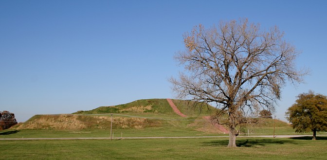
 Cahokia Mounds |
Afternote:
This series, first written in 1992, has been edited several times and updated. I thank those who contributed to GPS readings. If you can contribute GPS readings of ancient monuments, please contact me. If you can contact me before visiting an area, all the better. Digital photos of reading locations are also appreciated. To send CDs or e-mail, see my Contact page. Thank you in advance.
DOWNLOADS: SPREADSHEETS | |
Arc_Calc_3 Excel spherical trigonometry calculator, with arc distances and bearings for three sites. | Epoch Calc Excel file for calculating temporal variation in astronomic constants and obliquity of the ecliptic. |
| Neolithic_Calc Arc distances and bearings for three sites, with some Neolithic monuments of northeastern Europe. | ArchaeoGeodesy Arc distances and bearings for three sites, with mounds, pyramids, monuments, and sites worldwide. |
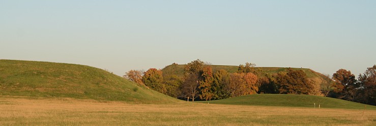
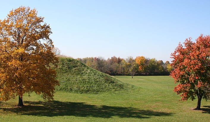 Cahokia Mounds Cahokia Mounds |
RETURN TO PART ONE -- TWO -- THREE -- ARCHAEOGEODESY PAGE![]()
WORLD WIDE WEB HUBS BY THE AUTHOR:
Home | Anthropology | Archaeoastronomy | Photo Stock | Web Design | Art
©1992 by James Q. Jacobs. All rights reserved.
Your comments, etc. are appreciated: Contact.
Cite as http://www.jqjacobs.net/astro/aegeo_4.html.