|
Articles |
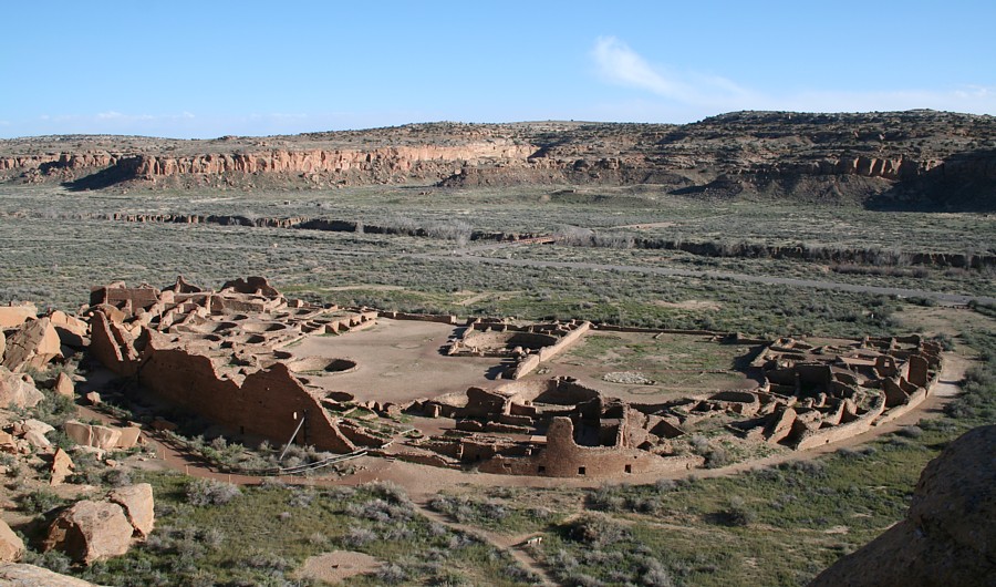
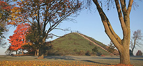
The Chaco Meridian. "In February of 1990, I noticed that Big Horn Medicine Wheel, Aztec Pueblo, the Pueblos of Chaco Canyon, and the Mimbres Valley are all situated on an approximate north-south line near the 108th meridian. I informed the New Mexico State Archaeologist of the finding. This observation was an outgrowth of my rock art fieldwork and, previous to that, an interest in ancient astronomy as evidenced in architecture. In the '80s, I had first noticed a group of rock art sites with similar images on an approximate meridian. Thereafter I began studying archaeology maps and mapping unmapped archaeological sites. In 1991, I noticed that Casas Grandes, in Northern Mexico, is on the same meridian as Chaco. Four major cultural centers are concentrated on an approximate N-S line. ...." 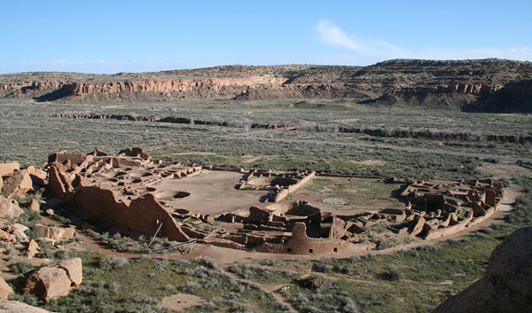
|
Excel Application with Site Coordinates — Download ArchaeoGeodesy XLS — XLS applet with arc distances and bearings for three sites, with 8,000 coordinates worldwide. In utilizing the software and data I present, the degree of accuracy inherent in the coordinates must be considered. Unless coordinates are GPS determined, accuracy is approximate. Hopefully, distribution of these tools will stimulate others to acquire GPS coordinates. I welcome contributions of GPS data, and thank those who have added to the site data.
Download Epoch Calc 2012 — 250 KB XLS file featuring file temporal variation in astronomy constants, obliquity of the ecliptic, eclipse calculator, and more. |
Ancient Monuments in Google Earth - Spanning the globe, more than 15,000 placemarks of ancient monuments and anthropogenic features. All sites in ArchaeoGeodesy XLS applet are included in this KML. The placemarks files integrate with the application, using the same coordinates and site code terms.
Ancient Monument Placemarks — Download — Google Earth KML file — archaeogeodesy.kml

|
| Early Archaeogeodesy Studies |
- 1991. Study Notes: Site-to-Site Relationships of Monumental Prehistoric Sites of North America.
- 1992. Study Notes: Site-to-Site Relationships of Prehistoric Monuments.
- 1992. Archaeogeodesy, a Key to Prehistory.
- 1993. Archaeogeodesy Study Notes.
- 1993. ArchaeoGeodesy, the Software.
- 1996. Archaeogeography Studies.
- 1997. First publication of this web site.
- 2000. The Possible Geodetic Properties and Relationships of Neolithic Monuments of the British Isles, Preliminary Results.
- "Longitude is an easier problem to resolve on land than at sea, and may have been accomplished with a lunar calendar and astronomic observations over an extended period of time... ""It is very probable that the builders of Avebury and the nearby large henges were conscious of their position on a round earth."
- "... results suggest the possibility that geodetic knowledge was sufficiently advaned to include the ellipsoidal form of the earth, determination of longitude, and precise positioning of monuments in relation to each other across great distances and on opposite sides of the Irish Sea. Although the amount of evidence so far revealed is not a resounding affirmation of this view, enough evidence has been brought to light to conclude that the possibility deserves further study."
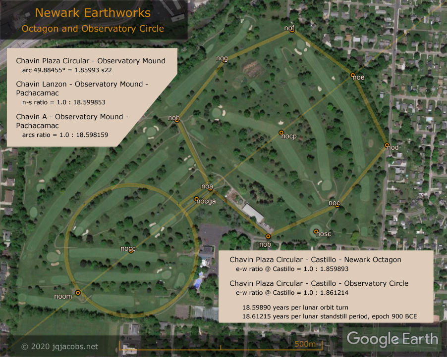
- 2001. Possible Geodetic Properties and Relationships of Some Monumental Earthworks in the Middle Ohio Valley.
- " The Newark Octagon and Marietta Square ratio of arc distance to longitude difference, the azimuth of the Newark Octagon, and the bearings between Newark Circle and the Octagon Circle infer precise understanding of the mathematical ratio of latitude to longitude. "
- "I conclude that the builders of the Middle Ohio earthworks understood aspects of geodesy, including accurate astronomical knowledge, knowledge of the scale and shape of the earth, knowledge of their location on the earth, and how to place find and point position."
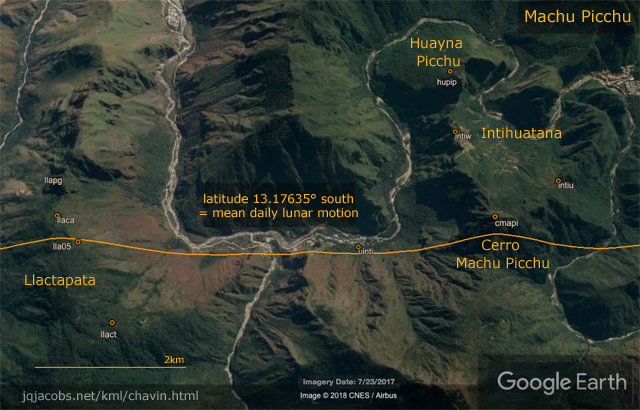
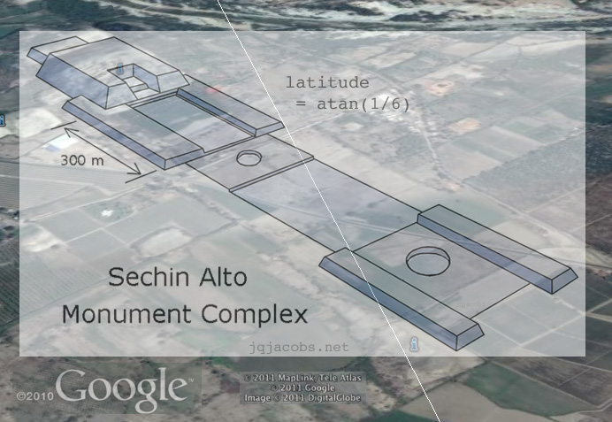
- 2002. Science in Prehispanic Mesoamerica
|
©1997-2025 by James Q. Jacobs |
|