|
2008.04.16 - New Google Earth™
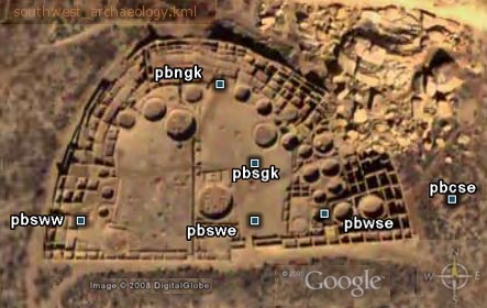
Placemarks - I just uploaded new SW Archaeology
Spring 2007 GPS Placemarks files, and an Excel dataset with all
SW 2007
waypoints. Finally! I journeyed in the Southwest fully a year ago.
To better share the customized placemark formatting, I saved as
KML files), readable UTF-8 text. Google Earth uses two formats, KMZ and KML. The
KML files display a readable XML application, and KMZ is the zipped
format of KML. To examine code, open KML files in any simple text
editor. KMZ files can be saved as KML in Google Earth. I first created
the file with Excel using the column fill down command for the
redundant code snippets. With this method, hundreds of placemarks
incorporating a custom design can be created quickly with any dataset.
Don't miss my entire
collection of Ancient Monuments
Placemarks. A popular download is The Inca Tail and Machu Picchu.
I recommend the Chicama-Moche
Canal. It is set up to navigate along the length of the canal by
clicking the placemarks in sequence. Some of the Eastern
Woodlands files includes Squier and Davis map overlays. I plan to
update the Southwest file with image thumbnails and overlay maps, and
previous files with styling. That may take another year!
|